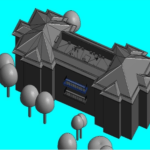
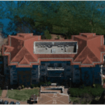
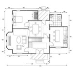
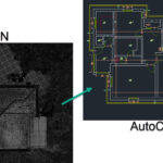
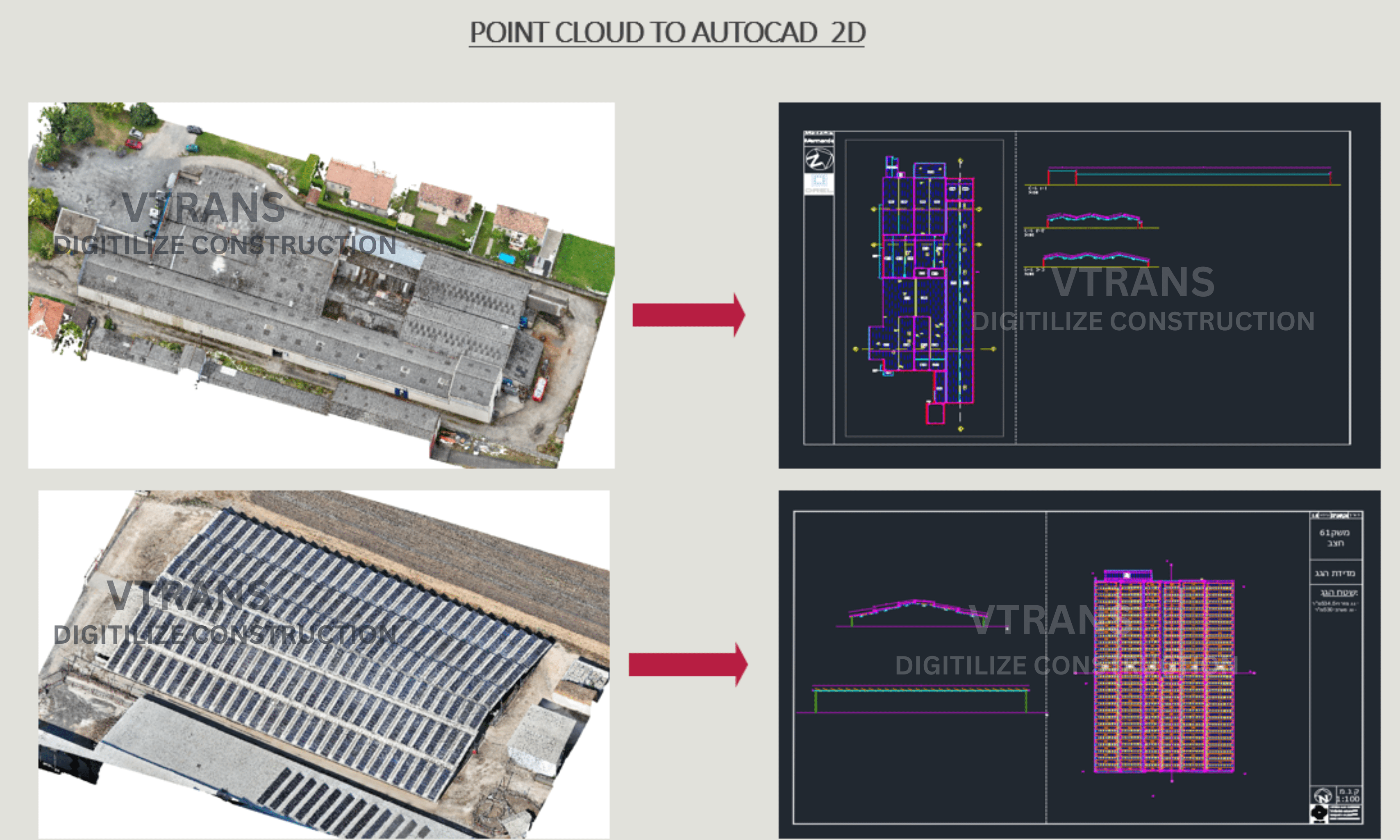
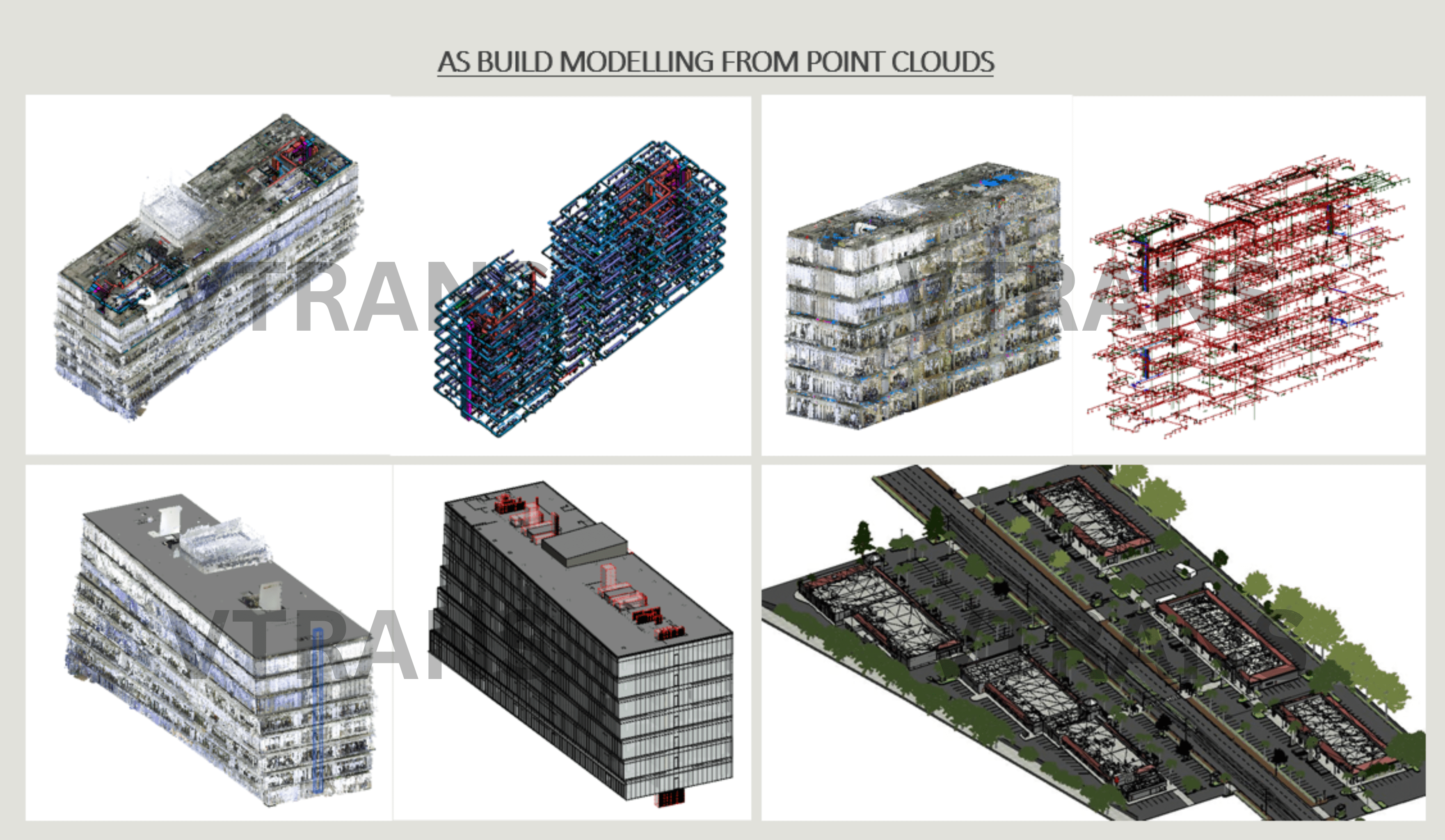
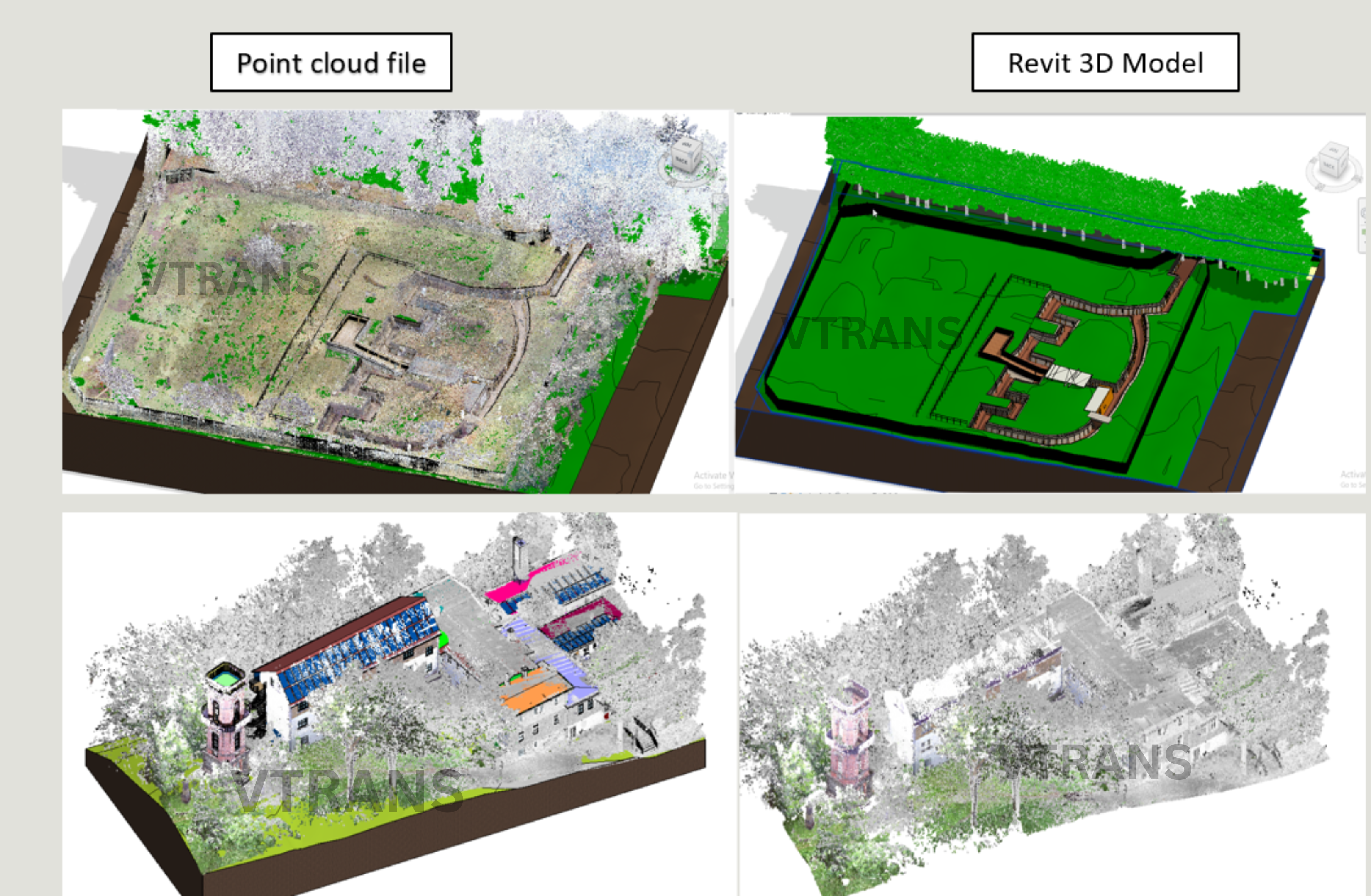
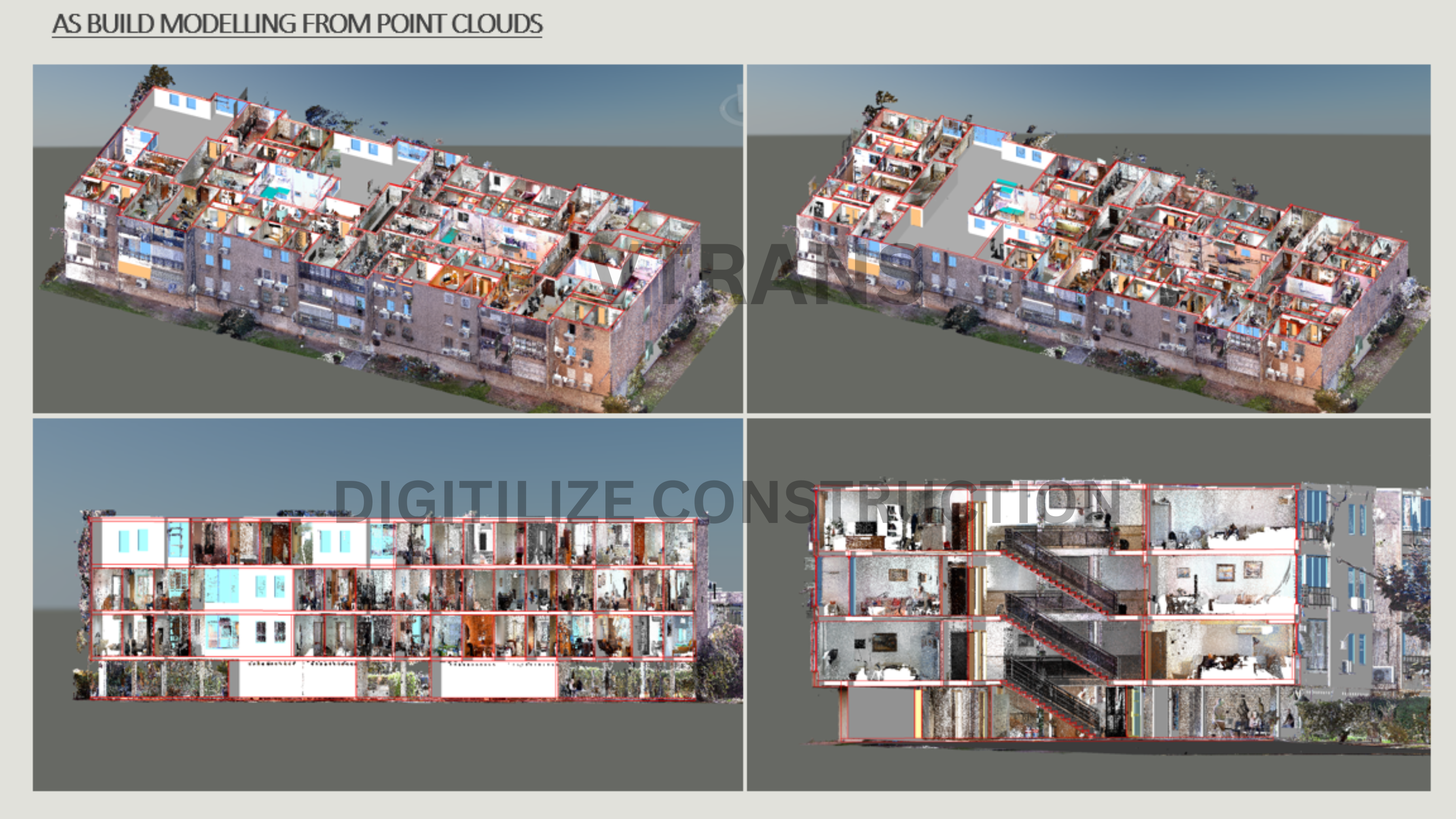
Our Gallery

Contact Info

Explore the Colourful World

Revolutionizing Construction Planning
with Cutting-Edge BIM

EXPERTS IN PRODUCING, ANALYZING, AND CONVERTING POINT CLOUDS INTO 3D MODELS FOR DIGITAL CONSTRUCTION.

Who are we?

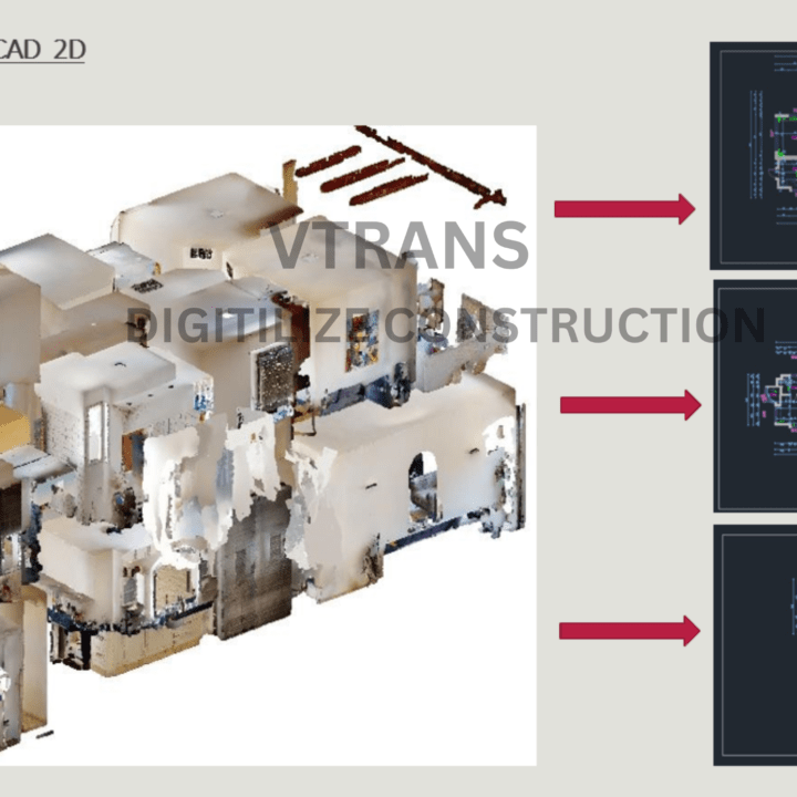
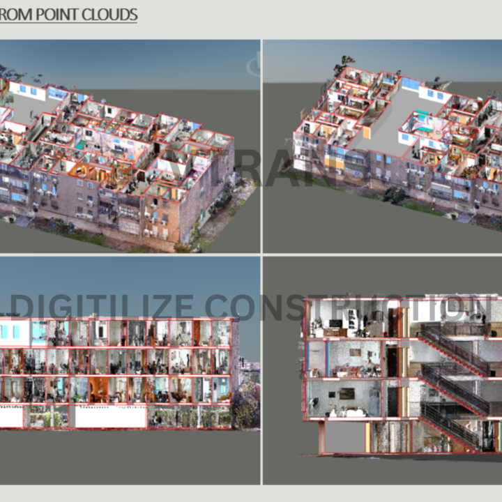
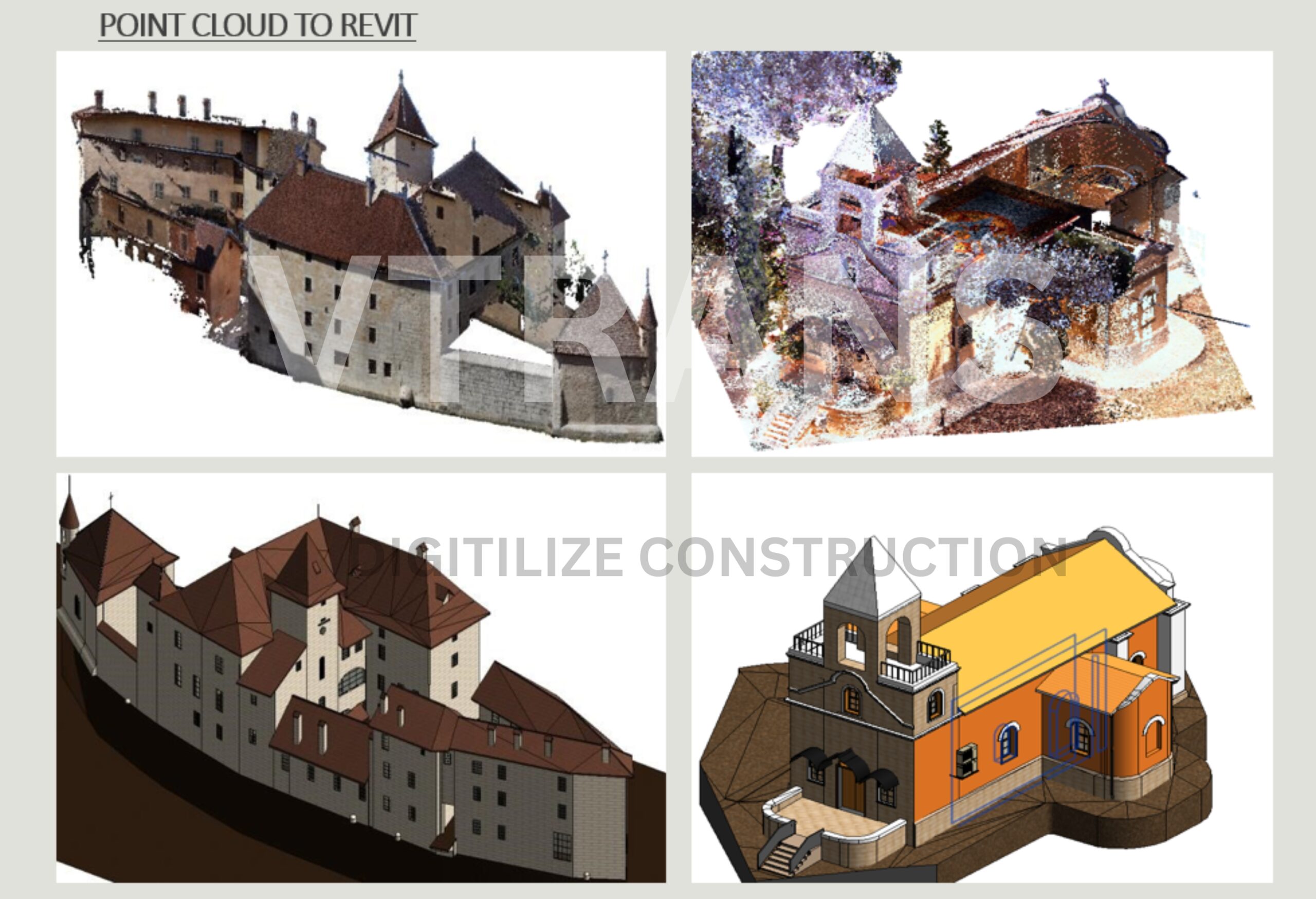
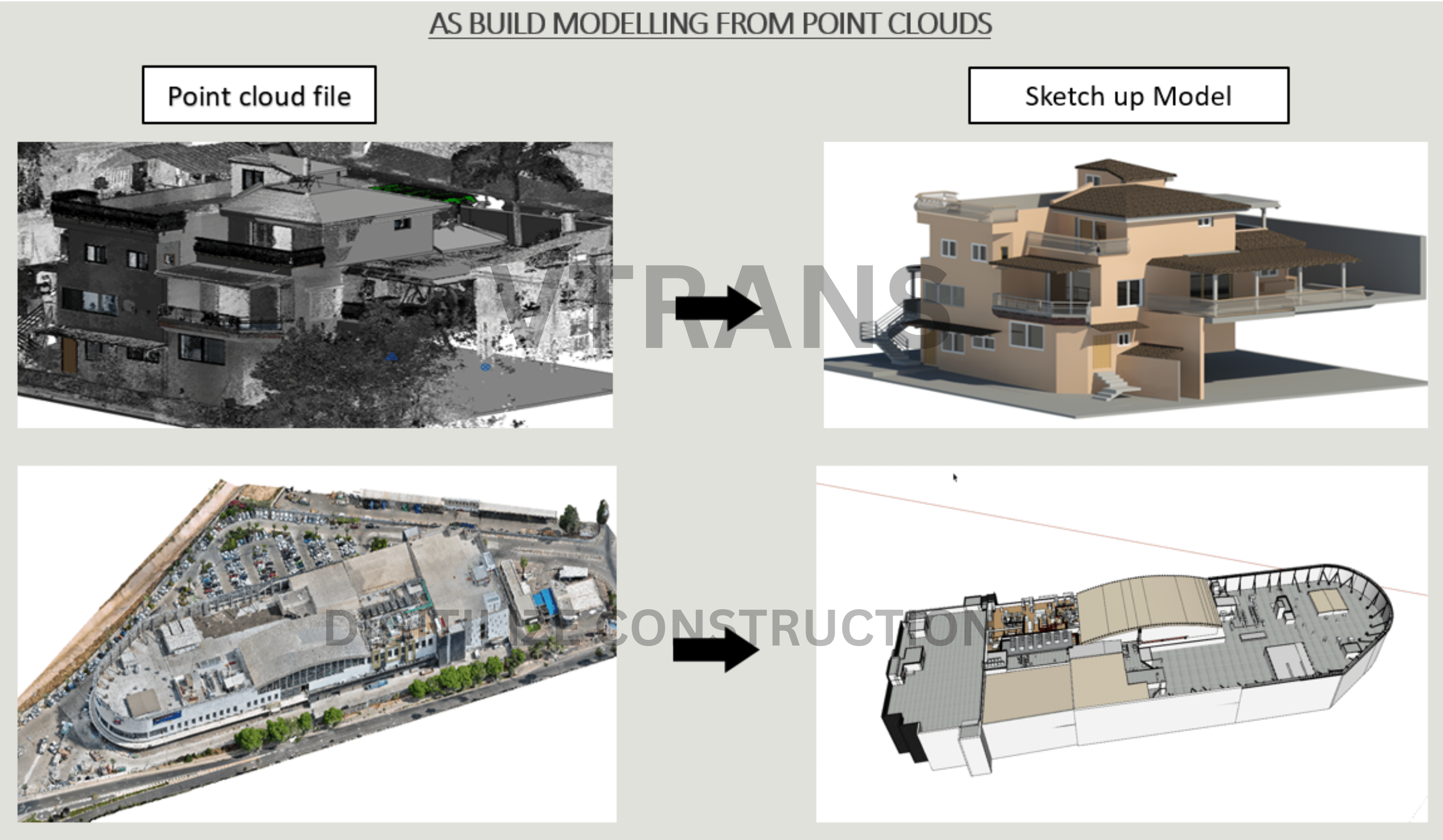
Welcome to VTrans, where cutting-edge technology meets architectural excellence. We specialize in transforming your real-world environments into precise, actionable 3D Revit models through advanced scanning techniques.

Our team of skilled professionals brings a wealth of experience in Revit 3D and AutoCAD 2D modeling. We combine this expertise to convert complex physical structures into comprehensive digital models that enhance your planning, visualization, and execution processes. From intricate historical buildings to modern commercial spaces, our services are tailored to meet the unique demands of each project.

At VTrans, we are a dedicated team of surveyors, analysts, and project managers with a shared commitment to accuracy and clarity. Our experts bring extensive experience in conducting detailed surveys and producing high-quality detailed project reports that bridge the gap between real-world data and digital design, providing you with accurate, actionable insights for your projects.
OUR SERVICES

What We Offer

BIM
Scan To BIM

1. Structure BIM modeling
2. Architectural BIM modeling
3. MEPF BIM modeling
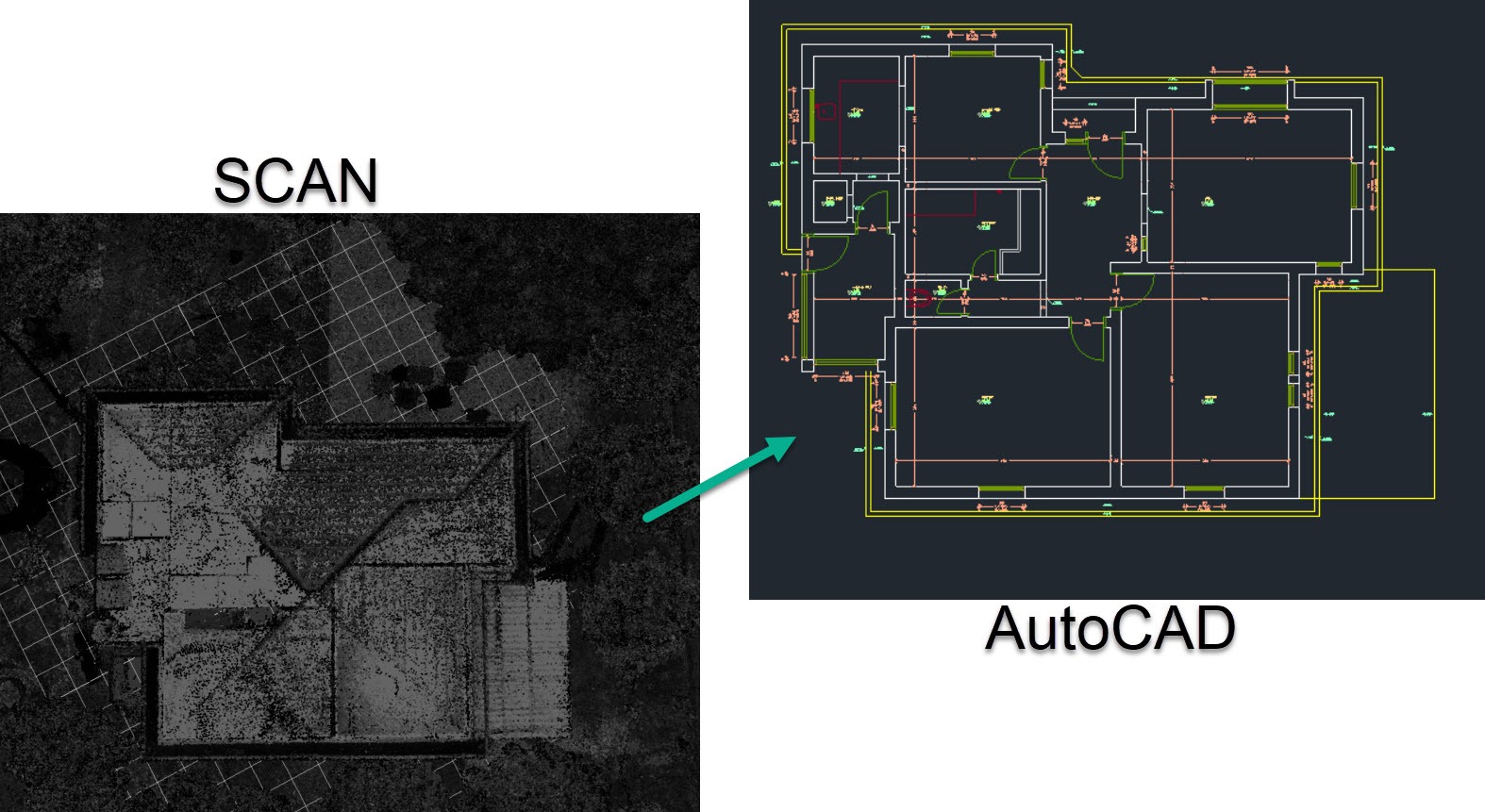
4. LIDAR TO CAD

3D Modelling

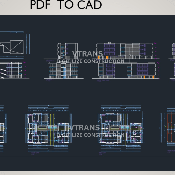
1. PDF TO 3D
2. DWG TOO 3D
3. Virtual Mock Up
4. Google Earth to Revit 3D

3D Modelling

1. PDF TO 3D
2. DWG TOO 3D
3. Virtual Mock Up

3D Modelling

1. PDF TO 3D
2. DWG TOO 3D
3. Virtual Mock Up

Model Based Coordination

1. 3D model-based coordination
2. 4D Simulation
3. 5D Quantity take-offs
4. Clash Detection test

Add Ons

1. 2D CAD Services
2. Structure Detailing
3. Shop Drawing Creation
4. BIM Training

survey
DGPS Surveying

Differential GPS (DGPS) enhances the accuracy of standard GPS systems by correcting signal errors through ground-based reference stations.

1. High Precision:
2. Real-Time Data
3. Enhanced Reliability
4. Global Coverage:

laser
3D Laser Scanning

Utilize state-of-the-art 3D laser scanning technology to capture detailed and accurate 3D representations of physical objects and environments.

1. Detailed Data Capture:
2. Rapid Surveying:
3. Versatility
4. complex structures

total-station
Total Station Surveying

Precision Surveying Solutions with DGPS and Advanced Technology

1. High Precision Measurements
2. Versatile Applications
3. Efficient Data Collection:

Untitled design (2)
Aerial Survey

Aerial surveying solutions, committed to delivering high-quality data and exceptional service

1. Capture high resolution data
2. Ideal for all projects
3. Provide accurate and timely data

[ +]
Project complete
[ +]
years of experience
[ +]
Serving countrires
our skills

Demonstrated, real-world outcomes

Accuracy and Precision

Accuracy is at the core of what we do. Our meticulous attention to detail and rigorous quality control processes ensure that our BIM models and survey reports are reliable and precise. You can trust our data to guide your project decisions with confidence

Experienced Professionals

Our team combines years of industry experience with the latest technology to deliver reports that meet the highest standards

Exceptional Customer Service

Client satisfaction is our top priority. We pride ourselves on clear communication, responsive support, and a collaborative approach. Our team is always available to address your questions and assist you throughout your project

Timely Delivery

We recognize the importance of deadlines and are committed to delivering our services on time. Our efficient workflows and dedicated team work diligently to ensure that you receive your models and reports promptly, keeping your project on schedule

Cutting-Edge Technology

We utilize the latest advancements in 3D scanning and BIM technology to provide you with precise and detailed models and reports. Our state-of-the-art equipment and software ensure that every aspect of your project is captured and represented accurately.

Expert Team

Our team combines years of industry experience with the latest technology to deliver projects that meet the highest standards. We are dedicated to staying at the forefront of industry advancements to offer you the best solutions

Our Portfolio

3D Modeling

Creation of detailed 3D models

4D & 5D BIM

Integrating the (4D) and (5D)

Clash Detection

Resolving in the design phase

What People Say

''Vtrans Excelled in updating our BIM model, Swiftly resolving clashes with clear communication while delivering top -notch quality and coordination, ensuring project success. Great Quality of work within Time.''
Samuel
Canada
''Vtrans is very good option for Reverse engineering from Point cloud to CAD Great Work, Lightning fast delivery in every project.''
Louis
Germany
Vtrans out did by expectations, service was superb and it was done in half the time, was a please to work with VTravns Team again.
David
USA

Gallary